| Town Hunter | |
| Powered byTriVee Inc. |
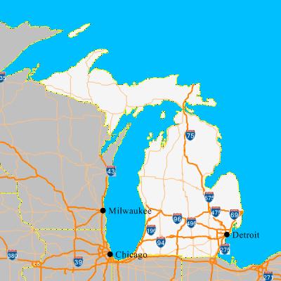
St. Clair Shores MI
| County | Macomb |
| ZipCode | 48080 - 48082 |
| Population | 63124 |
| Land Area | 11.5 sq mi |
| Water Area | 2.7 sq mi |
| House Value (Q3 2003) | $139000 |
| Cost of living index (100 is national average) | 107 |
| Median household income | $49047 |
| School achievement index (0 - 100) | 57.36 |
| Crime index (0 - 100 lower number is better) | 46 |
| Median AQI value (lower number is better) | 14 |
| Medical site index (0 - 100) | 80 |
| Closest Major Highway | I-94 |
| Mean temperature | 50F |
| Nature and recreation index (0 - 100) | 42 |
| Culture index (0 - 100) | 56 |
| Shopping Index (0 - 100) | 67 |
| Closest major metropolitan area | Detroit, MI |
Cost of living info for St. Clair Shores, MI School report for St. Clair Shores, MI Crime statistics for St. Clair Shores, MI Complete report for St. Clair Shores, MI |
| Find city like St. Clair Shores, MI in state: |
| Compare St. Clair Shores, MI with |
| If you make $ in St. Clair Shores, MI then check how much you would need to make in |
Look at neighboring city reports: |
Click on the state map to zoom in.